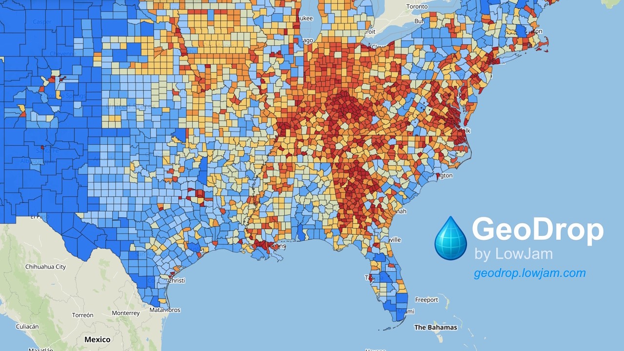
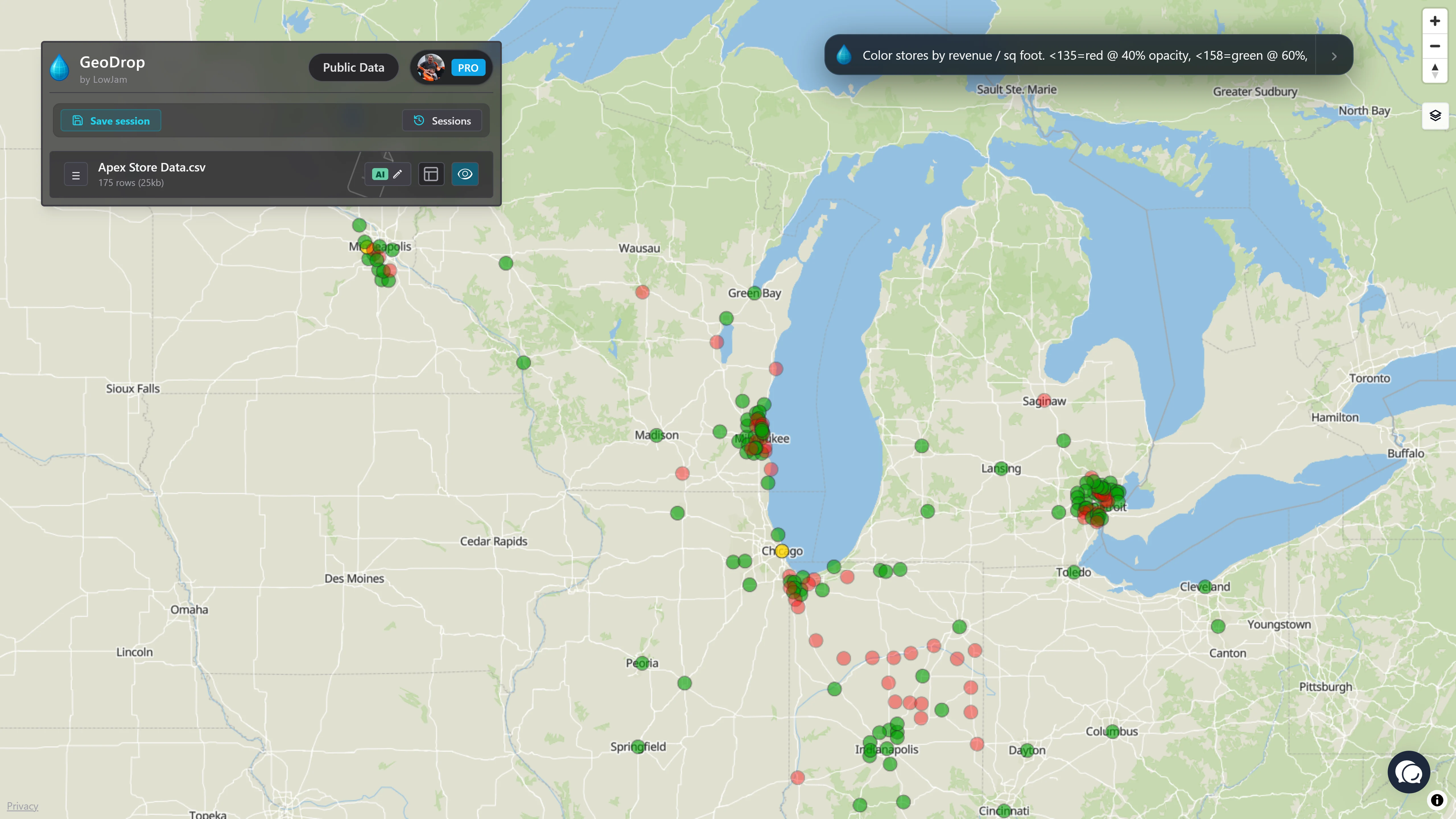
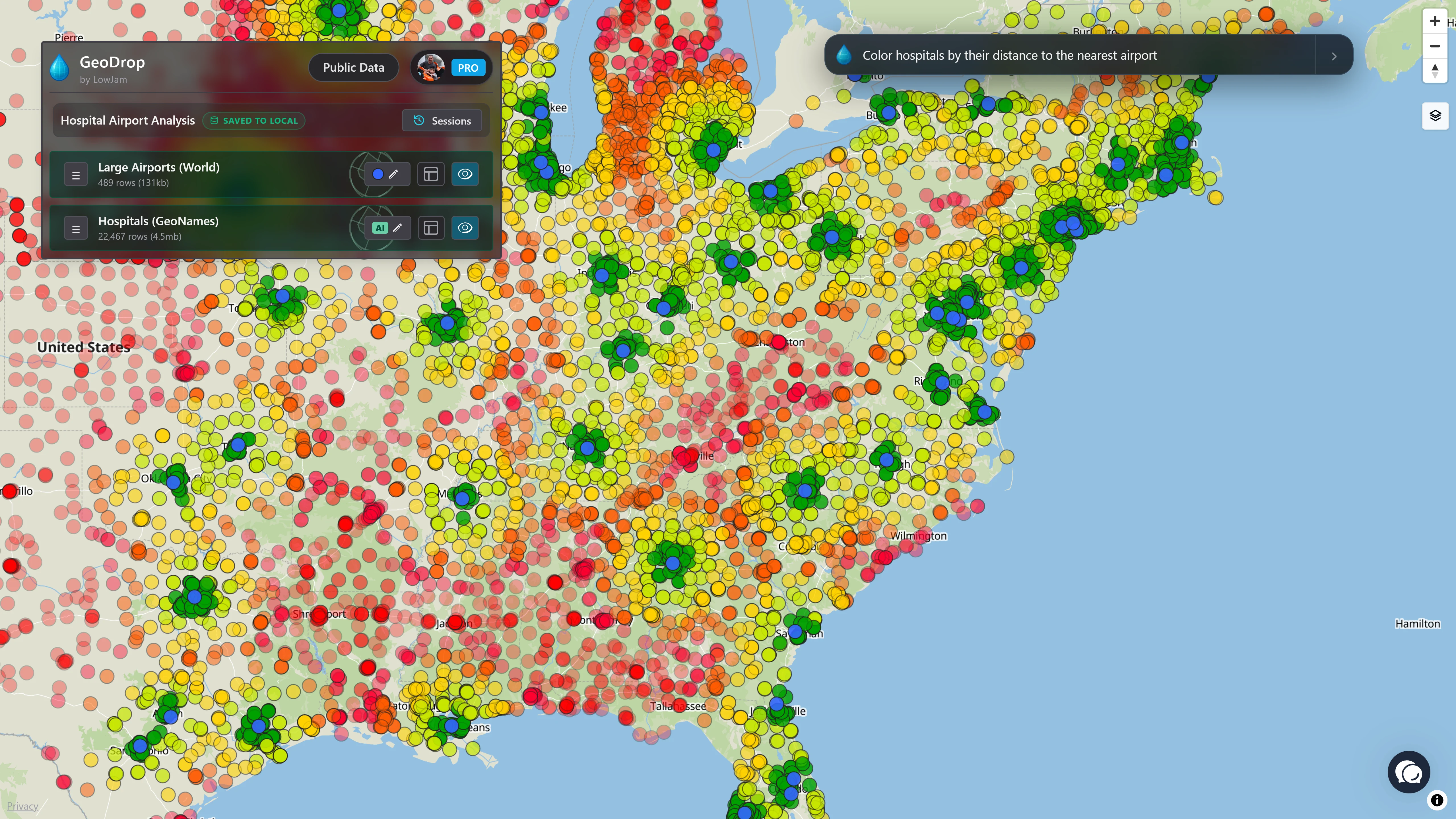
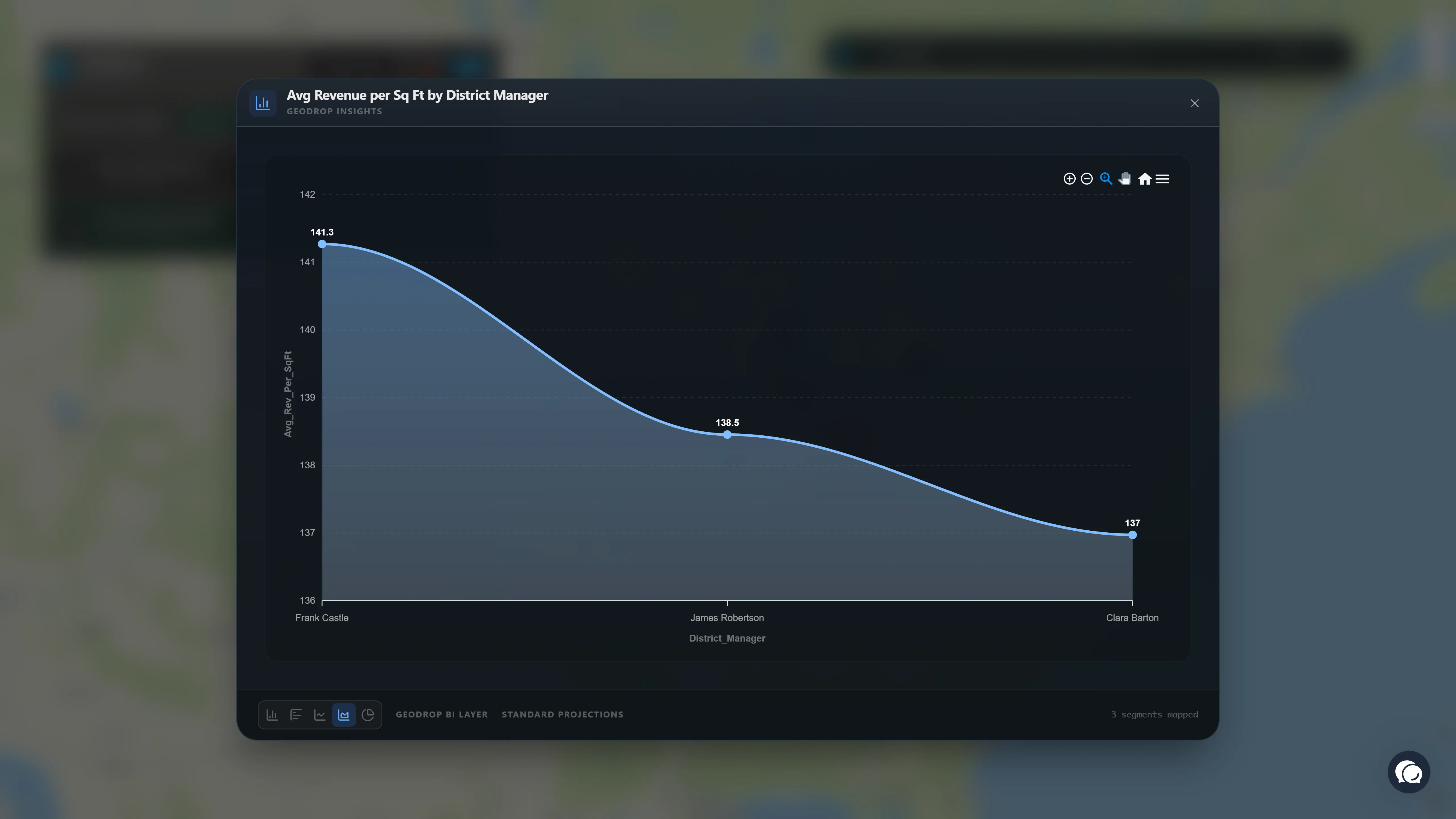
Experience the first browser-based analytics platform designed for natural language. Powered by Google Gemini, GeoDrop turns your local data into professional maps and charts without the complexity of traditional GIS.
GeoDrop handles multiple files simultaneously, allowing you to find spatial relationships between disparate datasets. Identify locations within specific zones, boundaries, or service areas effortlessly.
Use simple language to solve complex spatial problems. Ask to "Highlight hospitals by their distance to the nerest airport" and let the engine calculate the intersection on the fly.
Don't be limited by your raw columns. Ask GeoDrop to "Calculate average revenue per square foot by district manager" to generate and visualize new derived metrics instantly.
Engineered for speed, GeoDrop utilizes your hardware to process tens of thousands of features directly in your browser. No server lag, no installation, just fluid performance.
GeoDrop is built on the foundation of user control: your data stays on your local machine by default, and only moves to our secure cloud when you explicitly choose the convenience of a synced session. As shown in our transparency prompts, we ensure you are always the pilot of your information—providing full visibility and requiring your active consent before any data ever leaves your browser.
Pick up right where you left off. GeoDrop uses your browser's local storage to save your maps and history directly on your device. Your work persists across sessions without ever needing to touch our servers.
Our local-first approach makes GeoDrop an ideal environment for HIPAA-regulated healthcare data or sensitive legal files. You visualize information locally, maintaining your existing security posture.
We believe in "No Surprises." Cloud-based features like cross-device syncing or AI analysis are strictly opt-in, and we provide clear warnings before any data leaves your browser.